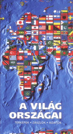
Countries of the World

Maps, flags, data

The book was made and published by Agát Kft.
The maps of these book were made by:
Project manager: dr. Zentai László
Members: Kőhegyi Zoltán, Vázsonyi Zsolt, Kovács Béla (typesetting)
Data, description of countries: MAP-A-DAT
Data collection closed: February 17. 1995.
Sample sheet (Hungary) - 84 kB!
 Jump to the Homepage of Department of Cartography and Geoinformatics, Eötvös University, Budapest!